Geographic Coordinate System
Advertisement
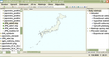
WxGIS Portable v.0.4.1
wxGIS is a useful application that allows you to manage and to organize multiple types of geographic information.
Advertisement
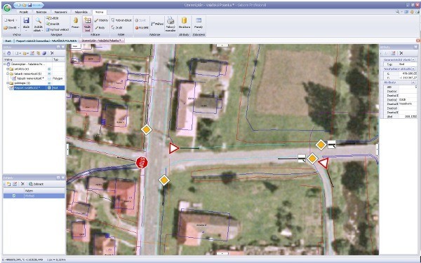
Geisom Professional v.1.5
Geisom is a geographic information system (gis) used to easily access complex geographical information.
TatukGIS Free Coordinate Calculator v.1.2.3.34
This free Windows application interactively converts the coordinates of a point between coordinate systems. The version 2 reflects the same coordinate system support as the TatukGIS Developer Kernel (v.9) and TatukGIS desktop Editor (v.

Grass GIS for Mac OS X 6.4.1-3 v.3
Commonly referred to as GRASS, this is a free Geographic Information System (GIS) used for geospatial data management and analysis, image processing, graphics/maps production, spatial modeling, and visualization.
Canvas GIS Advanced (Mac) v.9.0.4
About Canvas GIS Advanced (Mac)Adds native support for Geographic Information System (GIS) data to Canvas.
GvSIG desktop v.2.0.0.2023
gvSIG Desktop is a powerful geographic information system (GIS) designed to offer a free solution to all needs related to geographic information management.
My World GIS v.4. 1. 2011
My World GIS™ is a Geographic Information System (GIS) designed specifically for use in middle school through college classrooms.
OpenJUMP v.1. 4. 2002
OpenJUMP is an open source Geographic Information System (GIS), it can read and write shapefiles and simple GML files. It has limited support for the display of images and good support for showing data retrieved from WFS and WMS web-services.
Quantum GIS v.1.8.0
Cross-platform and user friendly Open Source Geographic Information System (GIS). Quantum GIS (QGIS) is a user friendly Open Source Geographic Information System (GIS) that runs on Linux, Unix, Mac OSX, and Windows. QGIS supports vector, raster,
KMaps v.1.0
Color-coding maps made easy. KMaps is a mapping software to color-code maps on an XY coordinate system.KMaps Features: 1. Creates color-coded maps on an XY coordinate system 2. Reads from databases defined in an XML file 3. Imports and diplays
Mapyrus v.1.004
Plot Geographic Information System data with this tool. Mapyrus is program to plot Geographic Information System data to PostScript, PDF, SVG and web image files. Mapyrus combines a BASIC-like scripting language,